Before we left Las Vegas we bought a climbing guide for some of the higher peaks in the Sierras. The book described a couple of easy routes up Mt Whitney, the highest peak in contiguous America with its 4421 m. We thought that sounded like good fun, to actually climb a higher peak and not only hike it.
As we arrived in Lone Pine, which is the closest town to the trail head, we realized you need a permit to the Mt Whitney area. So we went online and found a one day permit for the next Monday, three days later. Every day there is also a lottery where any cancelled permits are distributed. We were considering trying to get an overnight permit through the lottery. We however decided to go for the one day permit any way in order not having to carry camping gear and climbing gear up half ways up the mountain. We thought climbing gear would be heavy enough. The plan was quite ambitious. In one day we would hike from Whitney Portal up to Iceberg Lake, climb the 11 pitches long East Buttress and then hike down the Mountaineer’s route back to the Portal.
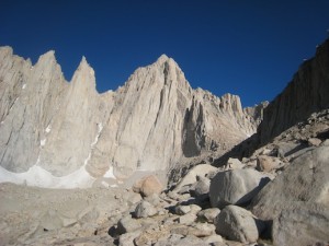
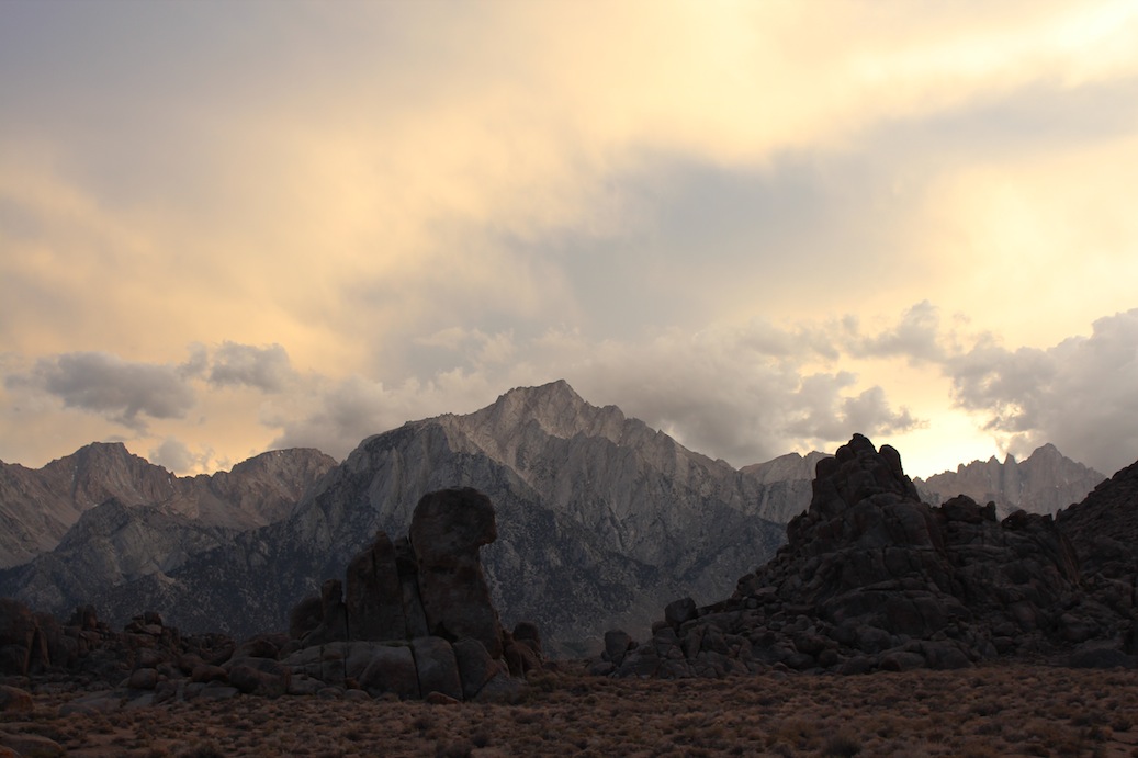
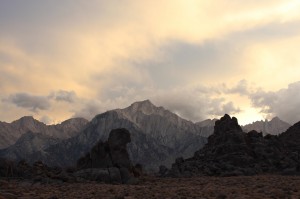
Mt Whithey as we come closer. The East Buttress would be the ridge on the right hand side of the peak.
The night before we drove up to the trail head at Whitney Portal and found a camping spot. We packed all our gear and were all ready to go. We had planned to get up at 3.00 and start hiking at 3.30. But since the neighbors were up already at 2.30 we got up at 2.50 and left at 3.20. We reached the base of the climbing route at 8.30, took a short break and got ready for climbing.
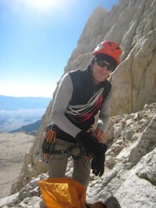
Andy gearing up.
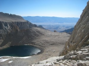
The view from the start of the climb.
According to everything we had read and everyone we had talked to it should be easy to find and easy to climb. The first pitch was easy to find since we had a picture of it in the guide book. However further on it was not so obvious. We had calculated that we had about 30 minutes per pitch but ended up using almost one hour for each of the first two pitches. The wind was hauling and it was very cold. We were after all on 4000 m. My hands were freezing which did not make it easier to climb. Andy also started to get cold and we decided to leave the climbing route, rappel down to the mountaineer’s route and continue to the top using that route.
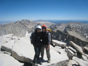
Any normal person would probably have gone straight down instead of continuing to the peak, but we there to climb a mountain and so we did. With our fairly heavy backpacks we scrambled up the mountaineer’s route. It was not as obvious to find and we lost even more time trying to find the correct way up to the top. Eventually at 14.30 we were on the peak.
Since we did not like the Mountaineer’s route, which was steep and very slippery, we decided to descend using the hiker’s route. This one unfortunately is 11 miles (18 km), one way. The trail was not steep or hard but had an endless amount of switchbacks. 5 hours and 40 minutes later we were finally at the parking lot again. With no energy left we drove to McDonald’s in Lone Pine, ate a quick hamburger and went to bed. Feet, back, shoulders and fingers were hurting at this point and it was a relief to lay down.
Next morning we woke up a bit stiff but surprisingly enough just half a day later we were quite fit again. So now it is time to plan for the next adventure…
Quick facts:
Total 24.5 km round trip
Elevation change 1900 m
17 hours of hiking, climbing and scrambling
10 kg (Angela) resp 15 kg (Andy) backpacks
3 slings and one carabiner left behind (for abseiling)


