Warning: call_user_func_array() expects parameter 1 to be a valid callback, class 'collapsArch' does not have a method 'enqueue_scripts' in C:\inetpub\vhosts\globitrotter.com\httpdocs\blog\wp-includes\class-wp-hook.php on line 307

Mt Sneffels – short and easy

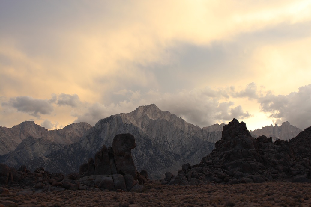
After a couple of days driving through Nevada and Utah we finally reached Colorado. Here the plan is to hike some 14ers. We drove into one of our favourite places from our trip last year, Ouray. It is called the Switzerland of America, which could be discussed, but ok, close enough. We spent one lazy day in the village. It featured hot springs, beer, coffee/tea and chocolate. At this point we were fairly bored and were looking forward to go hiking.

As the sun rose the next day we headed off towards Mt Sneffels. It was a short hike and not even 3000 feet elevation gain because we were able to drive up to the trailhead with our 4×4. Some would claim this can not be counted as a 14ers since it was less than 3000 feet elevation gain. But we don’t care. We just like the view from the peak and are willing to use our car in any way we can to make it easier. If we were only doing one peak then maybe I would go by the “rules” but right now we have 12 peaks on our list to do in a week so I think we will be doing enough exercise.

We decided to climb Mt Sneffels on the 3rd class rated southwest ridge. This was a good decision since the standard trail was basically just scrambling up a stone field. We took this way down and it did not look like a lot of fun coming up. It took us only 20 min or so to reach the ridge. The climb was easy to find and lots of fun. There was some exposure occasionally which always makes it more interesting.

The view from the ridge as the sun is rising.

We reached the peak already 7.30 am and stayed there for about 2 hours. After 1.5 hours another guy joined us and after 2 hours the masses started to reach the top which meant it was time to leave. From the peak we could see people coming up and there were lots of them. After we left the top they were probably about 30 people up there. This is one reason to start very early, you get the peak for yourselves.

The view from the peak looking down the ridge we came up.

The weather was perfect, warm enough to hang around for a long time and sunny. As we reached the car again some clouds were coming in and we made it back to town just in time for lunch. 🙂

Cathedral Peak

One of our goals in Tuolumne was to climb the Cathedral Peak. It is rated a 5.6 which should be an easy climb for us. The theoretical number of pitches were 5-6.

Cathedral Peak as we are approaching. The climb is up the left ridge.

We got up before the sun and started the approach at dawn. It took us almost 1.5 hours to reach the base of the climb. It took us a few minutes to gear up and have a sip of water. The mosquitos were bad so we did not linger at the base.

I started leading the first pitch which featured a hand crack custom made for my size of hand. Andy did not like it as much. Second pitch Andy lead. Third pitch I ended up choosing the wrong way and made a belay station before I was supposed to due to the rope drag being heavy and the crack much more difficult than I thought. Andy had to come to the rescue. After this point we did shorter pitches than was described in the topo and ended up with 8 pitches instead of 5 or 6. It was a great climb that had some great spots like the hand crack, a chimney and some airy bits close to and on the peak.

Andy having a rest at one belay station.

Me in the chimney.

As always it took us a bit longer than it says in the guide books but we were the first ones on the cliff and the first ones on the top. There were a number of people coming up after us but we only saw them from above and did not actually meet anyone during our climb. We were surprised because it had said that this route is always full of people.

Andy on the peak.

It was a great feeling to sit on the top of Cathedral Peak. There is not a lot of space up there and we were happy we were the only ones. The view was spectacular and is always so much better if you actually made an effort to get there.

Me on one of the rocks forming the peak.

The view from the peak. If you look closely on the image you can see a guy on the top of the spire, the Eichhorn.

The down climb was described as a 4th class (should be easy) and probably was if you found the exact right way. We found a tree and ended up rappelling down to save some time and energy. Once back at the Meadow we went to the store, bought some soda and chips and had a rest at the creek before we jumped in it. The creek is not colder than average summer water temperature in Sweden so it is ok.

Hiking back after a great climb.


Tuolumne Meadows

In total we spent almost 2 weeks in Tuolumne Meadows. We climbed, hiked and had a few lazy days as well. After our retreat in Mammoth Lakes we mainly went back for some climbing but did one day hike as well.

We climbed Tenaya Peak, Cathedral Peak, Pothole Dome, Dozier Dome and Stately Pleasure Dome. The one hike we did was on a rest day from climbing and took us to the top of Clouds Rest which has a spectacular view of Yosemite Valley and Tuolumne (image below).

Tenaya Peak was the first peak we climbed and a good exercise for us. Since we are still quite new to traditional climbing where you have to place your own gear this long climb was excellent. It was easy, only grade 5.5, and 14 pitches. It gave us both the training we needed for building belays and placing protection. It did take us a while to reach the top because of its length but worth it in the end. Many solo climb this peak or simul climb (both people are climbing at the same time and if one falls it could be a long fall) it. We were tempted to try it again and simul climb since we have never tried that. It was easy enough for us both to feel very safe. But we decided we wanted to move on instead. Next time…

 Us on the top of Tenaya Peak

We also took a rest day after doing three peaks in three days. We started the day with pancakes at the creek, had lunch on Lembert Dome and celebrated 4th of July with left over glögg (!?).

 Luxury breakfast on a lazy day

 Lunch view from Lembert Dome

 4th of July glögg


The Mt Whitney experience

Before we left Las Vegas we bought a climbing guide for some of the higher peaks in the Sierras. The book described a couple of easy routes up Mt Whitney, the highest peak in contiguous America with its 4421 m. We thought that sounded like good fun, to actually climb a higher peak and not only hike it.

As we arrived in Lone Pine, which is the closest town to the trail head, we realized you need a permit to the Mt Whitney area. So we went online and found a one day permit for the next Monday, three days later. Every day there is also a lottery where any cancelled permits are distributed. We were considering trying to get an overnight permit through the lottery. We however decided to go for the one day permit any way in order not having to carry camping gear and climbing gear up half ways up the mountain. We thought climbing gear would be heavy enough. The plan was quite ambitious. In one day we would hike from Whitney Portal up to Iceberg Lake, climb the 11 pitches long East Buttress and then hike down the Mountaineer’s route back to the Portal.

Mt Whithey as we come closer. The East Buttress would be the ridge on the right hand side of the peak.

The night before we drove up to the trail head at Whitney Portal and found a camping spot. We packed all our gear and were all ready to go. We had planned to get up at 3.00 and start hiking at 3.30. But since the neighbors were up already at 2.30 we got up at 2.50 and left at 3.20. We reached the base of the climbing route at 8.30, took a short break and got ready for climbing.

Andy gearing up.

The view from the start of the climb.

According to everything we had read and everyone we had talked to it should be easy to find and easy to climb. The first pitch was easy to find since we had a picture of it in the guide book. However further on it was not so obvious. We had calculated that we had about 30 minutes per pitch but ended up using almost one hour for each of the first two pitches. The wind was hauling and it was very cold. We were after all on 4000 m. My hands were freezing which did not make it easier to climb. Andy also started to get cold and we decided to leave the climbing route, rappel down to the mountaineer’s route and continue to the top using that route.

Any normal person would probably have gone straight down instead of continuing to the peak, but we there to climb a mountain and so we did. With our fairly heavy backpacks we scrambled up the mountaineer’s route. It was not as obvious to find and we lost even more time trying to find the correct way up to the top. Eventually at 14.30 we were on the peak.

Since we did not like the Mountaineer’s route, which was steep and very slippery, we decided to descend using the hiker’s route. This one unfortunately is 11 miles (18 km), one way. The trail was not steep or hard but had an endless amount of switchbacks. 5 hours and 40 minutes later we were finally at the parking lot again. With no energy left we drove to McDonald’s in Lone Pine, ate a quick hamburger and went to bed. Feet, back, shoulders and fingers were hurting at this point and it was a relief to lay down.

Next morning we woke up a bit stiff but surprisingly enough just half a day later we were quite fit again. So now it is time to plan for the next adventure…


Quick facts:

Total 24.5 km round trip

Elevation change 1900 m

17 hours of hiking, climbing and scrambling

10 kg (Angela) resp 15 kg (Andy) backpacks

3 slings and one carabiner left behind (for abseiling)


Watson Lake, Prescott, AZ

Watson Lake is just outside Prescott. It is surrounded by granite rock formations some of which are very nice for climbing. It is possible to rent kayaks or hike around the lake. Popular also is to pack a picknick and spend a day in the park next to the lake. There are hiking trails around the lake and many just do some rock hopping along the water front.

The cliff we found for climbing was very close to the water and had 5 routes. The wall was well protected (easy to place gear that felt safe) and had a couple of very nice routes. It was not difficult but a nice start of our climbing holiday. 🙂

Want to see more photos from Watson Lake? Click here.

Climbing in Prescott

Yesterday, after having lunch with my ex-colleagues, we drove up from Phoenix to Prescott. We wanted to camp by Watson Lake but found that it is only allowed during the weekend. So with some help from a park ranger we found another place to stay by Lynx Lake. The campgrounds are really nice with benches, fire rings and toilets.

At the campground with new vacation hair cut. 🙂

After a good night sleep we drove back to Watson Lake to do some climbing. There is a nice wall with 5 or 6 routes in the correct level for us. The views of the area from the top of the wall were beautiful. After climbing today with our twin ropes we decided to buy a single rope for shorter climbs like the ones today. So we plan to go back tomorrow morning to try it out before moving on.