Warning: call_user_func_array() expects parameter 1 to be a valid callback, class 'collapsArch' does not have a method 'enqueue_scripts' in C:\inetpub\vhosts\globitrotter.com\httpdocs\blog\wp-includes\class-wp-hook.php on line 307

Tuolumne back country hike

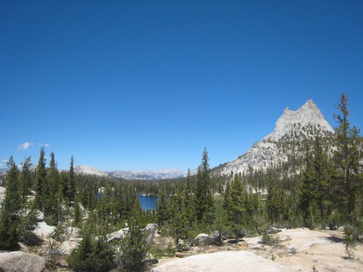
In Yosemite National Park we wanted to do a multiday hike. We decided to start it at Tuolumne Meadows. The exact route you can find below. We planned two nights and three hiking days. The first plan was to hike not more than 12 miles or 19.5 km per day. Since we ended up adjusting our route on the way it became 23.6 km the first day, 20.4 km the second and 11 km the third. The reason for the third day being so short was that where we were planning to camp the second night turned out to be mosquito hell. So we kept going until we found a place that was a bit better.

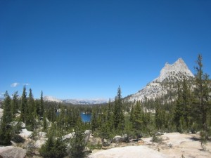
The first day we passed Cathedral Peak and Lakes. It started off uphill, a bit more than we had expected but still ok. Instead of going to the campground at Sunrise we turned off to the east and into the next valley. We hiked along a creek until we found a great place for our first camp.

Before reaching the first camp we filled up our water bottles by the creek. As we were doing this Andy made a joke that now when we were not watching our backpacks, which were 15 m away, a bear would come and get our snacks. Good point I thought, since we had been warned about just this. The bears know our behavior and chooses their moment of attack when we are not paying attention to our stuff. So I went to bring our backpacks closer while Andy was filtering the water. As I brought the second backpack I suddenly saw a bear on the other side of the creek. I think he saw me at the same time I saw him. It was a cute brown little guy, I thought afterwards. My first reaction was to freak out and starting clapping my hands. The poor guy got scared and ran off immediately. Maybe I could have taken a photo or two before scaring him off but I have never seen a wild bear that closely before and there was a bridge just next to us that he could easily cross. So my only photo of our bear sighting is a brown little dot in the middle of the bush. I won’t even bother to show it.

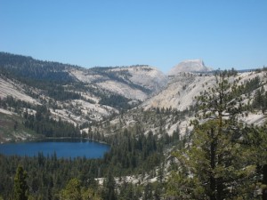
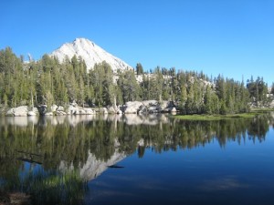
The second day we came by Merced Lake and then headed up towards Vogelsang. After the ranger station at Merced Lake it was steep uphill and got very hot. The wind had been strong ever since we entered the park but now when we wanted it, it was of course gone. This day was probably the most beautiful day featuring granite domes, creeks, water falls and spectacular views of the high Sierras. It was also the hardest one with more than 900 m elevation gain. As we came close to Vogelsang we turned off to the west and wanted to camp a few miles before the Toulumne Pass. After that it should start going downhill towards the Meadows again. Due to about a million mosquitos we ended up camping just at the Pass where it was a bit more reasonable.

The third day was an easy cruise down to Tuolumne again. Basically only downhill and not very steep. But since the first long day had given me some blisters on my feet it was still a pain. (Good thing you never remember these things very clearly afterwards…) I was happy to see the parking lot again where a cold lemon soda and some chips were waiting for us.

More images:

Tuolumne hike


Now, after 5 days of hiking and climbing without a shower, we were worth some luxury time at a hotel. 🙂

The Mt Whitney experience

Before we left Las Vegas we bought a climbing guide for some of the higher peaks in the Sierras. The book described a couple of easy routes up Mt Whitney, the highest peak in contiguous America with its 4421 m. We thought that sounded like good fun, to actually climb a higher peak and not only hike it.

As we arrived in Lone Pine, which is the closest town to the trail head, we realized you need a permit to the Mt Whitney area. So we went online and found a one day permit for the next Monday, three days later. Every day there is also a lottery where any cancelled permits are distributed. We were considering trying to get an overnight permit through the lottery. We however decided to go for the one day permit any way in order not having to carry camping gear and climbing gear up half ways up the mountain. We thought climbing gear would be heavy enough. The plan was quite ambitious. In one day we would hike from Whitney Portal up to Iceberg Lake, climb the 11 pitches long East Buttress and then hike down the Mountaineer’s route back to the Portal.

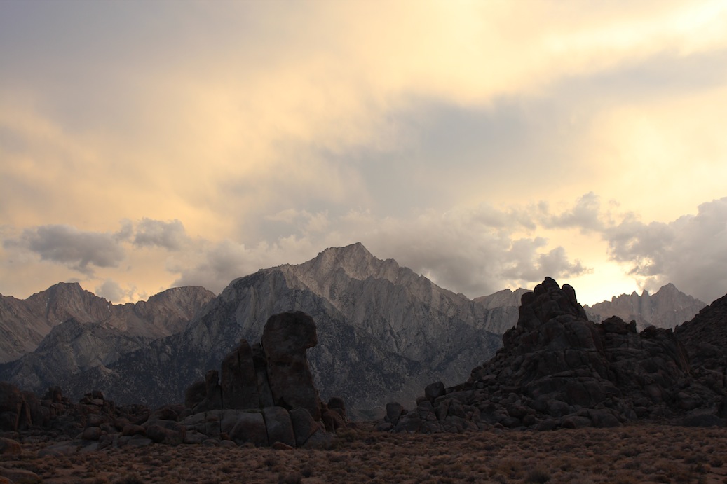
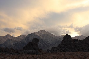
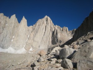
Mt Whithey as we come closer. The East Buttress would be the ridge on the right hand side of the peak.

The night before we drove up to the trail head at Whitney Portal and found a camping spot. We packed all our gear and were all ready to go. We had planned to get up at 3.00 and start hiking at 3.30. But since the neighbors were up already at 2.30 we got up at 2.50 and left at 3.20. We reached the base of the climbing route at 8.30, took a short break and got ready for climbing.

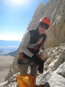
Andy gearing up.

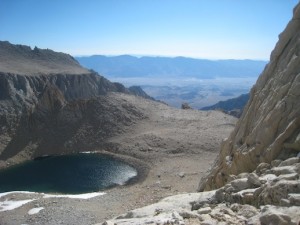
The view from the start of the climb.

According to everything we had read and everyone we had talked to it should be easy to find and easy to climb. The first pitch was easy to find since we had a picture of it in the guide book. However further on it was not so obvious. We had calculated that we had about 30 minutes per pitch but ended up using almost one hour for each of the first two pitches. The wind was hauling and it was very cold. We were after all on 4000 m. My hands were freezing which did not make it easier to climb. Andy also started to get cold and we decided to leave the climbing route, rappel down to the mountaineer’s route and continue to the top using that route.

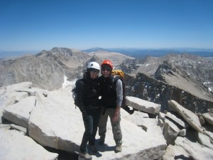
Any normal person would probably have gone straight down instead of continuing to the peak, but we there to climb a mountain and so we did. With our fairly heavy backpacks we scrambled up the mountaineer’s route. It was not as obvious to find and we lost even more time trying to find the correct way up to the top. Eventually at 14.30 we were on the peak.

Since we did not like the Mountaineer’s route, which was steep and very slippery, we decided to descend using the hiker’s route. This one unfortunately is 11 miles (18 km), one way. The trail was not steep or hard but had an endless amount of switchbacks. 5 hours and 40 minutes later we were finally at the parking lot again. With no energy left we drove to McDonald’s in Lone Pine, ate a quick hamburger and went to bed. Feet, back, shoulders and fingers were hurting at this point and it was a relief to lay down.

Next morning we woke up a bit stiff but surprisingly enough just half a day later we were quite fit again. So now it is time to plan for the next adventure…


Quick facts:

Total 24.5 km round trip

Elevation change 1900 m

17 hours of hiking, climbing and scrambling

10 kg (Angela) resp 15 kg (Andy) backpacks

3 slings and one carabiner left behind (for abseiling)


Antelope Canyon

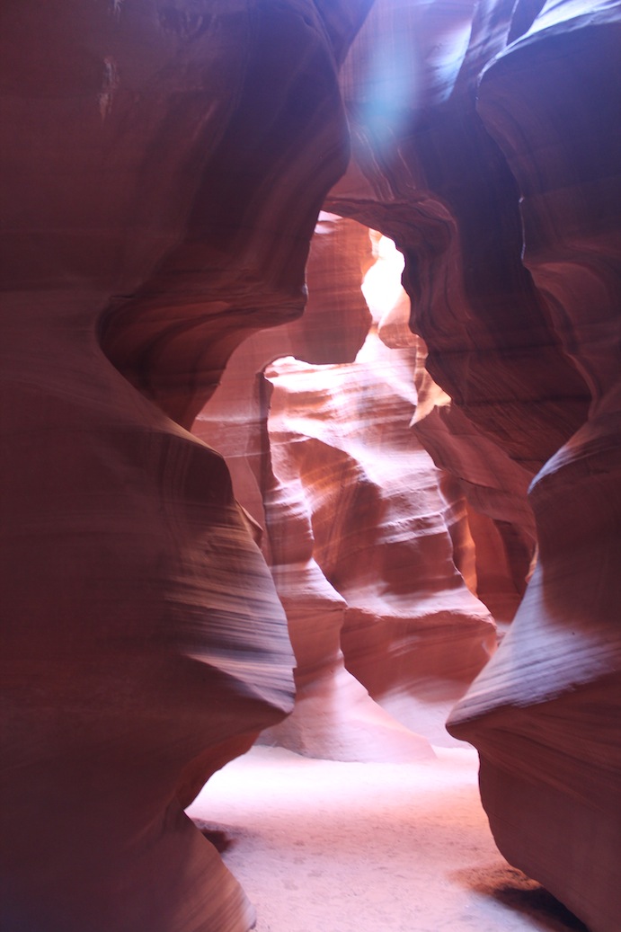
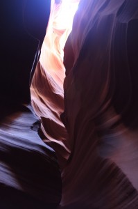
Antelope Canyon is a slot canyon just outside of Page, Arizona. It has become very popular over the years. The amount of visitors are now being limited in order to fit everyone in the canyon that is almost 500 meters long and very narrow at places. It is also not allowed to go without a guide anymore because people were carving their names and other things on the walls in the canyon.

You can have different tactics when visiting the canyon. Either you choose less crowded and not the best light which would be in the morning or afternoon. Or you choose midday which is where you get light beams coming down through the canyon. This is what the canyon is known for. If you go for the best light you will though not get a chance to take one single photo without a number of other tourists in it and you will pay almost the double price. If you do want that great picture you can pay even more and stay longer in the canyon with a guide that will do some “crowd control” at the best photo spots. These tours are only for “professional” photographers whatever that means. I guess you just need to bring a tripod…

Since we are not into crowds we chose the first morning tour. There were 9 people in our group and we had the canyon to ourselves for most of the time. As we were coming out again there was an endless line of people coming in which made us think it was the best time to go.

The height of the floor of the canyon is changing from year to year depending on how much rain they get through the canyon. It can differ many feet from before and after a heavy rain storm.

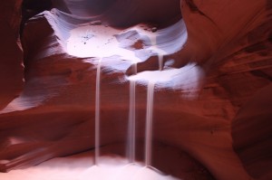
The guide created this effect by throwing sand which then came running down.


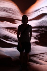
This is from the most narrow part of the canyon

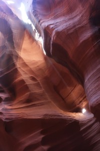
As we were walking out we did catch the first sun beam coming down through the canyon. Not very big but this is what most people are after when they visit Antelope Canyon.

Do you see the butterfly? 🙂

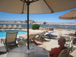
After the tour of Antelope Canyon and a short hike to Horseshoe Bend we spent a lazy afternoon at the restaurant at Wahweap Marina. It was way too hot to go hiking so we could not resist a few beers and some snacks at the pool with a view of Lake Powell.

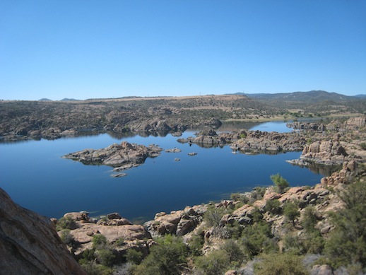
Watson Lake, Prescott, AZ

Watson Lake is just outside Prescott. It is surrounded by granite rock formations some of which are very nice for climbing. It is possible to rent kayaks or hike around the lake. Popular also is to pack a picknick and spend a day in the park next to the lake. There are hiking trails around the lake and many just do some rock hopping along the water front.

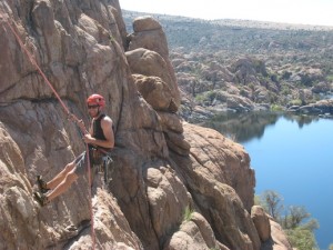
The cliff we found for climbing was very close to the water and had 5 routes. The wall was well protected (easy to place gear that felt safe) and had a couple of very nice routes. It was not difficult but a nice start of our climbing holiday. 🙂

Want to see more photos from Watson Lake? Click here.

No return – full time travelling, hiking, climbing

I made a decision and now there is no return. I recently quit my job so that Andy and I can live a dream and go travel for a year or so. The main activities will be hiking and climbing. It has always been a dream of mine to do such a trip but it is not easy to find someone who wants to come along for the ride. A few years ago I met Andy who has the same interests and is willing to live cheap and out of a car for a long time. Although it sounds fantastic to not work and just play I realize that it will also be tough not to have a home and always have to live out of a suitcase (or backpack in this case). But what I am looking forward to and what was the main purpose of this kind of trip is to not have any responsibilities except to yourself, no work to go back to, not having to do anything if I don’t want to. Imaging the freedom of doing today what you feel like and not what you have to. Maybe that is not the correct way to express it, I guess we have all chosen our lives and even if it feels like we have to do things we have put ourselves in the situation where we have to do certain things to be able to maintain a lifestyle or care for other people. I did that too in a way. Before I worked a lot for some time to then take time off and go travel, dive and hike. The trips I made were quite expensive and although my job allowed me to take longer holidays on several occasions there was always a time when I had to go back. This time I have chosen to quit my job entirely and live on little money but instead be able to stay on the road for a long time. What will limit our trip is money or if we simply don’t feel like travelling anymore. I think the second one will happen first.

Andy and I have been talking about making a long trip basically since we met but it was never certain exactly when we would do it. Now seemed to be a good time for several reasons. So tickets has been booked and the route is USA-Canada-Hawaii-New Zealand-Australia-Hong Kong-Stockholm. The plan is to return to Sweden in July 2013 and spend the summer in Stockholm. After that we’ll see what happens. We might stay or move to Switzerland which is Andy’s home country. If we have not decided something else on the way that is.

The 23 May we will be returning to Stockholm from Phoenix, were we have lived since Jan 2011, and my last working day will be 31 May. 4 June is the day when it all begins. Then we are going back to Phoenix to pick up our car which we bought here a year ago. It is a Toyota FJ Cruiser which is prepared for camping and will be our home in USA and Canada for the summer.

Our home in Needles, Canyonlands, Utah

You will be able to follow our trip on this blog. I hope you will and that you enjoy it.

The Narrows


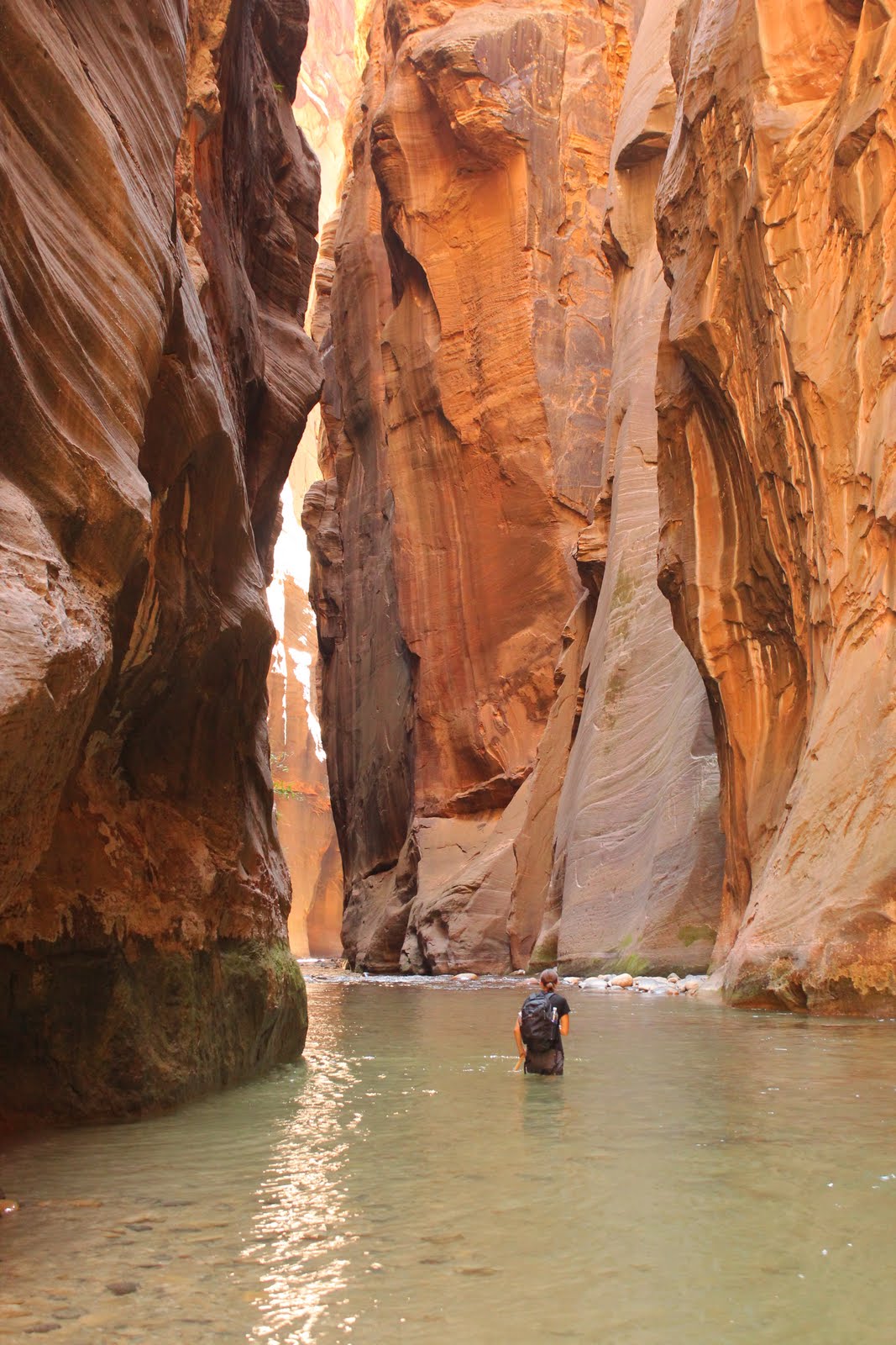
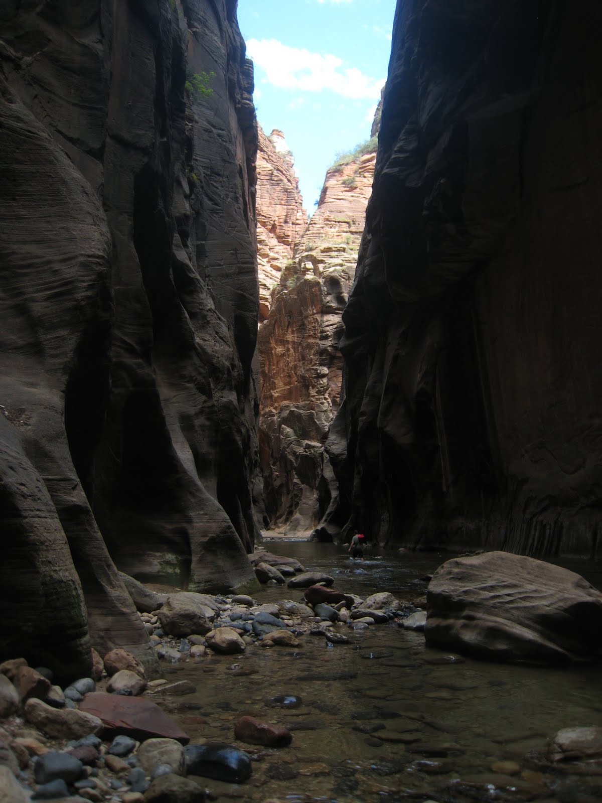
The last day before heading back to Phoenix and reality again we hiked The Narrows in Zion National Park. This is a narrow canyon through which the Virgin River runs. It is so narrow that you have to hike in the river most of the time. Since this was going to be our last hiking day we did not care about getting our boots wet and the heat made it feel very tempting to hike in the cool river.

To be on the safe side we rented poles at an outdoor store that would help us keep the balance in the stream. Many hiked without but I was happy to have one so I didn’t have to swim unless it was necessary. In fact we did not have to swim at all, at the deepest place the water reached up to my chest. Unfortunately this was after about 10 min so you had to get wet from the very beginning but then it was mostly knee deep.


It was a different and fun hike in the water but after a couple of hours we decided to turn back because we were getting a bit cold. Luckily at this time the sun was high enough to shine down into the canyon which helped us keep warm. I am not sure I would attempt this hike any other time of the year. In that case you have to rent a dry suite to keep warm.