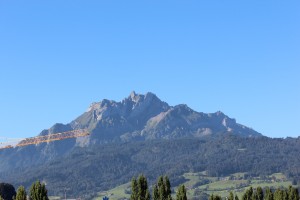
We have lived in Lucerne since 1 June and from our balcony we see the mountains, particularly the Pilatus. It is regarded as the “house mountain” being the highest peak close to the city. With its 2128 meters it is higher than the highest point in Sweden. Considering our interest in hiking it is astonishing that we have not hiked one single time since we came back to Switzerland. The weather has been fantastic so there was really no reason. But I have to admit that after doing so much hiking during our trip and moving around every day made us lazy and we have enjoyed just staying put for the summer.
The Pilatus is very green this time of year. If you zoom in you can see the red gondolas on the right side of the mountain.
Lately though I have started to feel the urge to get up there again and on Saturday we did our first “real” hike since Tasmania in March. (I am not including smaller walks to see certain sights.) We decided to hike the Pilatus from the Alpnach side which is the most direct route and therefore also quite steep. You start at the Pilatus Bahn station (yes, there is a train going up on this side of the mountain) on roughly 450 m altitude. It starts off on the meadows but rather quickly you enter the forest and do not get out in the open until almost half ways to the top.
Before getting into the forest.
Once above the tree line you soon see your goal for the first time and it becomes very obvious that it is a fair way to go. You can see the switchbacks you have in front of you but you also have a nicer view and it is more alpine with beautiful meadows and steep rock faces. The top of the mountain was mostly covered in clouds so it did not make much sense to take pictures at this point.
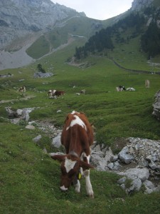
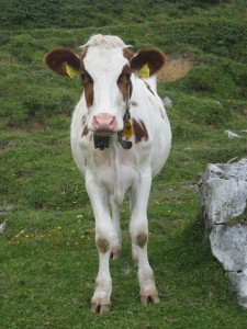
What is a hike in the Alps without cows? In the background in the left image you can see the train track.
Being not in the best of shapes it took me about half an hour longer than last time I did this hike 3 years ago. We did not keep that good track of our time, we stopped and talked to fellow hikers on the way, but I think we did the 1700 m altitude in about 3 h and 40 min. My goal is to cut that time with at least one hour. I would be happy with 2.5 h. Andy’s goal is a bit more aggressive but he would have to run part of the time to reach his 1.5 h goal…
At last we reached the peak which is crawling with people. The amount of people that actually hike up is not very large, most come up with the train or the gondola on the north side of the mountain. Recently they renovated the facilities on the top to fit even more people indoors. I guess a lot of the tourists does not realize that it gets quite cold up over 2000 m, especially when the wind is blowing. This way they can get a nice lunch or snack without having to freeze half to death.
And being out of shape we took the train down. 🙂 It is quite a cool train being the steepest rack railway in the world. They say the steepest part is 48% which is quite impressive considering it opened in 1889.
This is the half way station. You can get off and on here if you don’t want to do the complete hike or just get off, stroll around, say hi to the cows and then continue with the train.


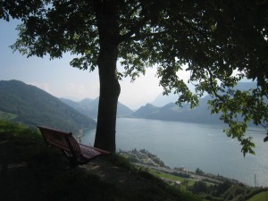
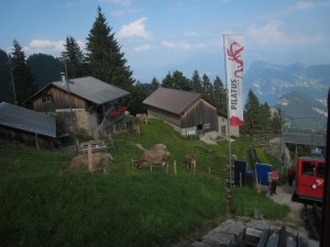
I don´t even want to think of how long it would take me to hike up there… Lovely views, though. And cute cows. I could see myself gondoling up there for lunch most Saturdays.
It’s a nice place for lunch. My plan is to, at some point, buy a year pass so I can go up there anytime for a nice cup of tea. 🙂