Warning: call_user_func_array() expects parameter 1 to be a valid callback, class 'collapsArch' does not have a method 'enqueue_scripts' in C:\inetpub\vhosts\globitrotter.com\httpdocs\blog\wp-includes\class-wp-hook.php on line 307

Alternative doughnut in Napier

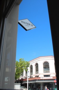
As we were walking around admiring the Art Deco buildings in Napier we eventually had to take a break and get some coffee/tea and cakes. We strolled into this newly opened café/restaurant, Mister D, in a refurnished Art Deco building on Tennyson Street in the center of town.

It turned out their specialty is doughnut that you infuse yourself with apple-raspberry jelly, chocolate or vanilla custard. Obviously we had to try that and this is how it looked:

Very good! Make sure not to miss this café when in Napier.


Testimony after (more than) 200 days

Suddenly I realized we have already been way more than 200 days on the road. It is weird how time seems to pass by quickly (it is already February!) but still we have had lots of time on our hands and have experienced so much. We have met many people during this trip and every time I hear that someone is about to go home and have to go back to work I feel so grateful we were able and did take the chance to do this.

After this long time it is sometimes difficult though to take in new things. We more often skip sights and overlooks over yet another waterfall or beach just because we have seen so many and feel like it is hard to appreciate everything. Instead we try to create some sort of normality with movies, cooking, going to cafés and similar things. Basically things we used to do at home just to try to get comfortable no matter where we are. You do need to do something familiar ones in a while and not only see new things. Having a van where we can keep our stuff really helps. It is our little home.

So the feelings of constantly being on the move are mixed. A long holiday is extremely nice and I really have difficulties to remember how the stress felt that I know work could cause. I see this as a luxury and am enjoying it fully. We are however longing for a home as well and not having to cook outside or share a kitchen and bathrooms with strangers. At one of the campgrounds an older man had a t-shirt saying ‘The more people I meet the more I like my pigs’. We understand completely!

We have by now had about 20 plans of what to do when we get back this summer. We do believe we have a master plan but there are still almost 6 months to go so that might change. 🙂

Our four months in New Zealand are quickly coming to and end and we feel that it was the right amount of time to spend here. Considering the number of hikes we have done less time would have been too little but now we feel that it will be nice to move on. We don’t feel like spending more nights in huts this time around. This country is an amazing place and there are more things to see of course but it would require a different kind of traveling.

Soon we go to Australia and there we’ll have another continent to discover for three months before we slowly make our way home.

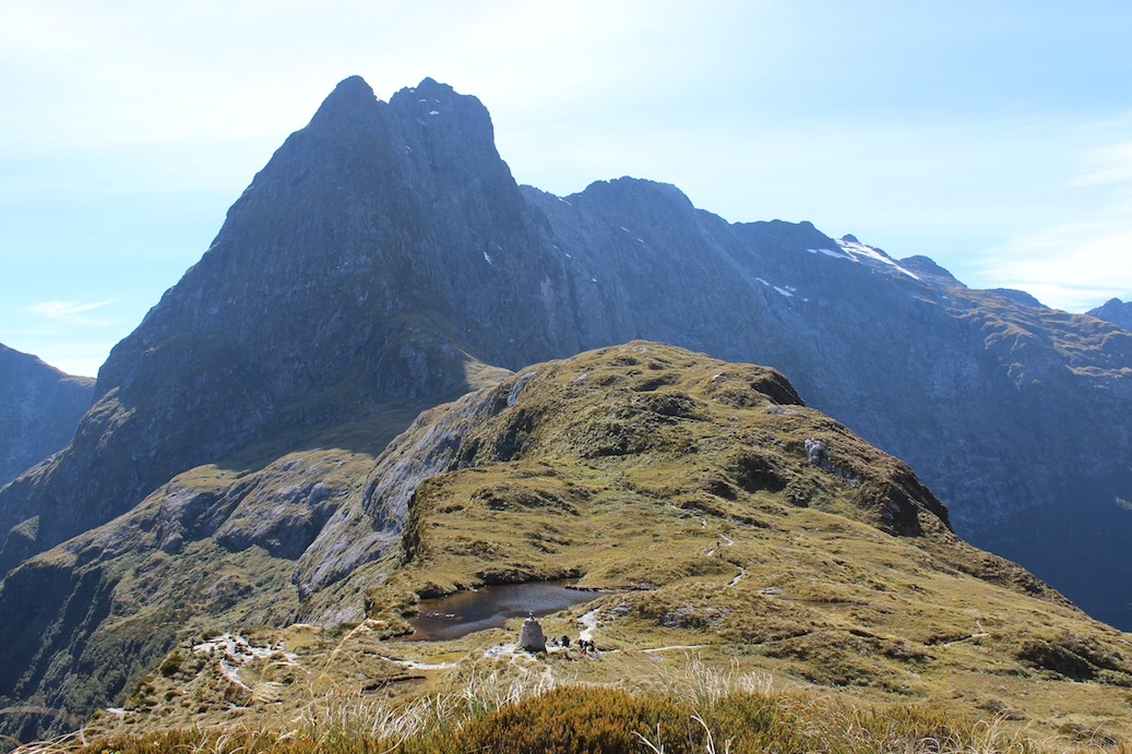
The image shows one of the most famous places in New Zealand, Mackinnon Pass on the Milford Track.

The challenge – North West Circuit on Stewart Island

After hiking a number of Great Walks we started to feel we needed a challenge. The North West Circuit on Stewart Island would definitely be the longest and hardest trail we have ever done and most probably ever will do. The fact that this is the place where you have the best chance of spotting kiwis was another reason for going. The route we chose was in total 132 km and almost 5000 m elevation including the highest peak on the island, Mt Anglem. The trail is not maintained like the Great Walks and features lots of roots, steep slopes and mud. We had read a lot about knee deep mud all along the trail and were prepared for the worst.
IMG_6233_a copy

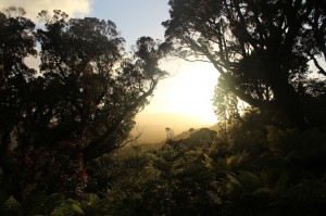
Sunset at Big Hellfire Hut.

It had been dry weather for two whole weeks when we arrived at Stewart Island and only a few showers were predicted in the next couple of days. The hike would take 9 days so we knew that we could get any kind of weather before we were due back. A few days of heavy rain and the track would be very wet, muddy and slippery. We believe we were very lucky and had only light showers a couple of days.
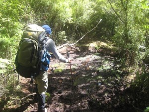
IMG_3790 copy

Mud, mud, mud.

Doing the Circuit clockwise is not the usual way to do it and not a lot of people go in this direction. Reason being that the first few days will then be the longest and hardest when you still have a very heavy backpack. But we did want a challenge so off we went. It was hard the first few days but I thought it continued that way the whole time. Of course that was partly our own fault. First of all it was hard just because it was long, many consecutive days on a difficult trail. Second we decided to add a side trip on day 6. The side trip was climbing Mt Anglem which is the highest peak on the island with its 980 meters. It may not sound very impressive but the trail was even steeper, more washed out and muddier than the rest. This day we hiked in total for 9 hours and were completely exhausted in the evening. Our bodies did not seem to really recover after this and even if the remaining days were easier we felt more tired.
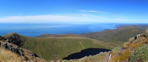
Pano_14_a copy

View from the top of Mt Anglem. We were extremely lucky with the weather, the only day with a clear blue sky. That made it worth the 3 hour climb to the peak.

Before we started I was mostly worried about the mud and the length of the track. What I ended up thinking was the worst was all the ups and downs, high steps and roots to climb over. It was basically very exhausting all the time. It was mentally hard to be out for so many days and after a few days we dreamed of fresh fruit and beer instead of freeze dried food and oatmeal.
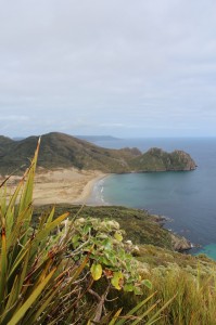
IMG_6274 copy

East Ruggedy Beach.

What you see along this trail is a large variety of scenery including beaches, forest, bush, and sand dunes. We did meet a few people along the way but most of the time we were alone in this wild country which was absolutely amazing. And we did see 4 kiwis! Apart from the kiwis there are lots of cool birds on this island like red crowned parakeet, robins, wood pigeons and fan tails. Although it was hard work it was worth it and very rewarding in the end.
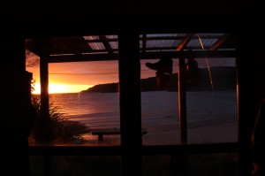
IMG_6442 copy

Sunrise at Bungaree Hut.

First thing I did when we came back to Oban was to order a big salad for lunch. Wonderful with fresh food! In the evening after a long hot shower we went for hamburgers and beer. 🙂

More photos:

Stewart Island – North West Circuit

The stats:

The Heaphy Track

This Great Walk was going to be the longest for us so far, 80 km in total. The first part of the trail is going over a pass and the highlands, then coming down to the coast and finally goes along the beaches. We had for some reason booked the huts as recommended without thinking too much about it. We were doing the track in four nights and five days. This could easily have been cut down to three nights and four days without even being very hard. But it was already booked so off we went.

IMG_3401_a copy

The view back towards Collingwood where we came from.

The first day was uphill and was supposed to be the hardest on the whole trail. It was very moderately graded so it was actually quite easy. Much easier than things we had done before. It was raining when we started but it stopped almost immediately and the sun came out until the evening when we were already in the hut on Perry Saddle.

IMG_3427_a copy

Gouland Downs. The pretty highlands in not so pretty weather.

IMG_3439_a copy

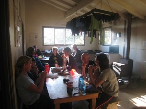
Hut life.

Day 2 and 3 were very short and could have easily been combined. We arrived at the huts very early and had to bring out books and join other parties card games to keep busy. Although we would have liked to skip one hut it was still a good thing because the first three days were partly rainy and foggy. Day 3 was really bad with heavy rain that made stream crossings very interesting. We were lucky and made it through with more or less dry feet but others coming in after us had to wade in thigh deep water. Day 4 and 5 though were excellent with blue skies and we could enjoy the track more.

IMG_3447_a copy

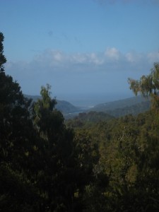
Looking down towards the coast where the last hut is.

The part along the coast was stunning with views of beaches and rugged coast line. It would be worth walking the whole track only for this part. It can also be done as a day hike from the end of the track.

IMG_3549_a copy

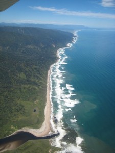
The bad thing about the Heaphy Track is that it ends a long way from the start. Either you can catch a bus back from where you started which will take half a day, have the rest of your luggage sent to the other side, have your car driven to the other end or…. fly back. Guess what we did? Yes, of course we took the scenic way. A shuttle bus took us from the end of the track to the air strip where we called the guy who was coming to pick us up. A few minutes later he arrived and took us back in a Cessna to the start of the track in 20 min. A bit depressing that you fly in 20 min what we had walked in 5 days. But it was definitely worth it especially since we were so lucky with the weather. The sky was blue when we were in the air but just a few hours later rain clouds were rolling in over the hills. Good timing!

More photos:

Heaphy Track – New Zealand

Abel Tasman National Park

Abel Tasman National Park is situated in the north western part of the South Island. It is mainly known for its nice beaches, rugged coast line and seal colonies. There is a Great Walk along the coast in the park but this time we decided to go the water way with kayaks instead of on the trail. This was also a way of escaping the crowds on the trail and in the huts. The huts were anyway fully booked so camping was our only option.

IMG_3334 copy

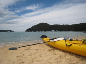
We rented a double kayak for three days in Marahau just where the trail starts. We filled it with camping gear, lots of nice food, snacks and wine. Since you do not have to carry anything you can bring things you normally would not carry on a hike. First I thought that everything would not fit but there were lots of space so no worries.

IMG_3305_a copy

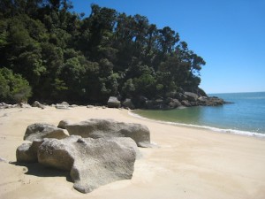
We had booked two camps on the way with some distance that was recommended in brochures and they were going to pick us up at the end of day three so we would not have to go back the same way. The real distance was not really obvious and turned out to be not very much at all. This meant we had lots of time to discover small secluded beach that were only reached by boat, small islands and seal colonies. This was the real treat since the beaches that had huts, toilets and trails were very busy. We stopped on these beaches too to use the facilities but otherwise we tried to get out of others way.

The weather was fine the first day although the storm the day before were still causing some swells and choppy waters along the coast. The second two days were fantastic with clear blue skies and basically no wind. We could not have asked for better conditions.

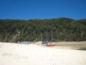
The tides were very obvious in the area and the second morning we had to drag our kayak down to the water line. The night before we had luckily arrived in high tide and could paddle all the way in to the campground. The tides often makes it interesting here also on the hikes sometimes. The sailing boats have to come in on high tide and then they get stuck on low tide and simply have to wait until the water level raises again. Somewhat different from sailing in Stockholm.

IMG_3335_a copy

Have a look at some more photos:

Abel Tasman National Park

Queen Charlotte Track

On Christmas Eve we caught the ferry over to the South Island from Wellington. The ferry brings you to Picton were we had decided to stay over the holiday. On Christmas Day everything was closed so we could not expect to do much that day. Only thing to do was to have a lazy day and cook some nice food and drink wine. This we did together with Jasmine from Austria who we met first at Tongariro and then by chance again on the ferry.

After our Christmas celebrations it was time to organize our next outing which was going to be the Queen Charlotte Track. The track runs along a ridge in the Marlborough Sounds in the northern most part of the South Island. It is a little different since it passes a lot of private land and there are no DOC (Department of Conservation) huts, only campgrounds. If you do not want to camp there are a lots of options, hotels, B&Bs and hostels. We decided to bring our tent though.

IMG_3214_a copy

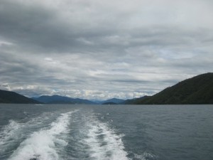
On the ferry to Ship Cove.

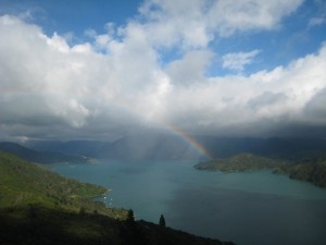
On Boxing Day we caught the afternoon ferry to the start of the track, Ship cove. From there it took us four days to reach Anakiwa from where the ferry was going to bring us back to Picton. Unfortunately the weather was not the greatest. The clouds were quite low but at least it did not rain heavily during the days but only at night. So we kept dry and happy for the entire time. Even with the low clouds it was a beautiful hike through native bush, along the water front and mostly on top of a ridge.

IMG_3248_a copy

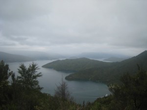
At the highest point of the track. On a clear day you are supposed to be able to see all the way to the North Island. We were not so lucky but it was still beautiful.

IMG_3233_a copy

Somewhere along the track

IMG_3269 copy

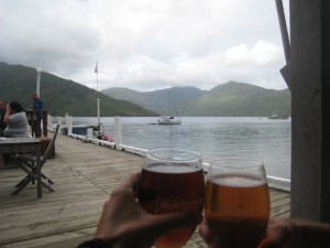
What made us even happier was the fact that next to the campgrounds day two and three there was a bar. Almost like being in the Alps you get a beer at the end of the day! Nice! Even though we had to carry our tent which made the backpacks a bit heavier it felt like a luxury hike. We could of course have left some of the food and eaten in restaurants on the way but that would be like cheating. The beer was luxury enough.

IMG_3235_a copy

Click here for more images:

Queen Charlotte Track